

Morelia Acueducto is one of Morelia’s historic landmarks: an 18th-century stone aqueduct along Avenida Acueducto, extending east to Colonia Chapultepec Norte. Its arches, surviving fountains and views from the Calzada de Guadalupe make it a distinctive landmark to include in a Morelia historic centre walk.
- Route: Avenida Acueducto, east to Colonia Chapultepec Norte.
- History: Built from 1785 to 1789 to bring spring water into the city.
- Scale: Approximately 1,700 meters long, with 253 arches and a maximum height of nearly 8 meters.
- Viewpoint: The Calzada de Guadalupe offers views of Morelia, and the aqueduct is illuminated at night.
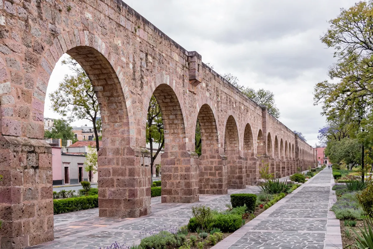
The Acueducto in Morelia
Morelia’s aqueduct is a historic monument and a civil-hydraulic engineering work, built to carry spring water into the city. Construction began in 1785 on the orders of Bishop Fray Antonio de San Miguel and was completed in 1789. The water came from a spring at Hacienda del Rincón, east of Morelia.
The aqueduct supplied 30 public fountains and some private household connections. It no longer carries water: its channel is insufficient to supply the city. Its construction belongs to the 18th century, with interventions in the 19th and 20th centuries.
The structure sits within Morelia’s Historic Monuments Zone, declared in 1990. Morelia’s Historic Centre joined the UNESCO World Heritage List in 1991. For context on the surrounding streets, a walking guide to Morelia city centre can help you plan the rest of your route.
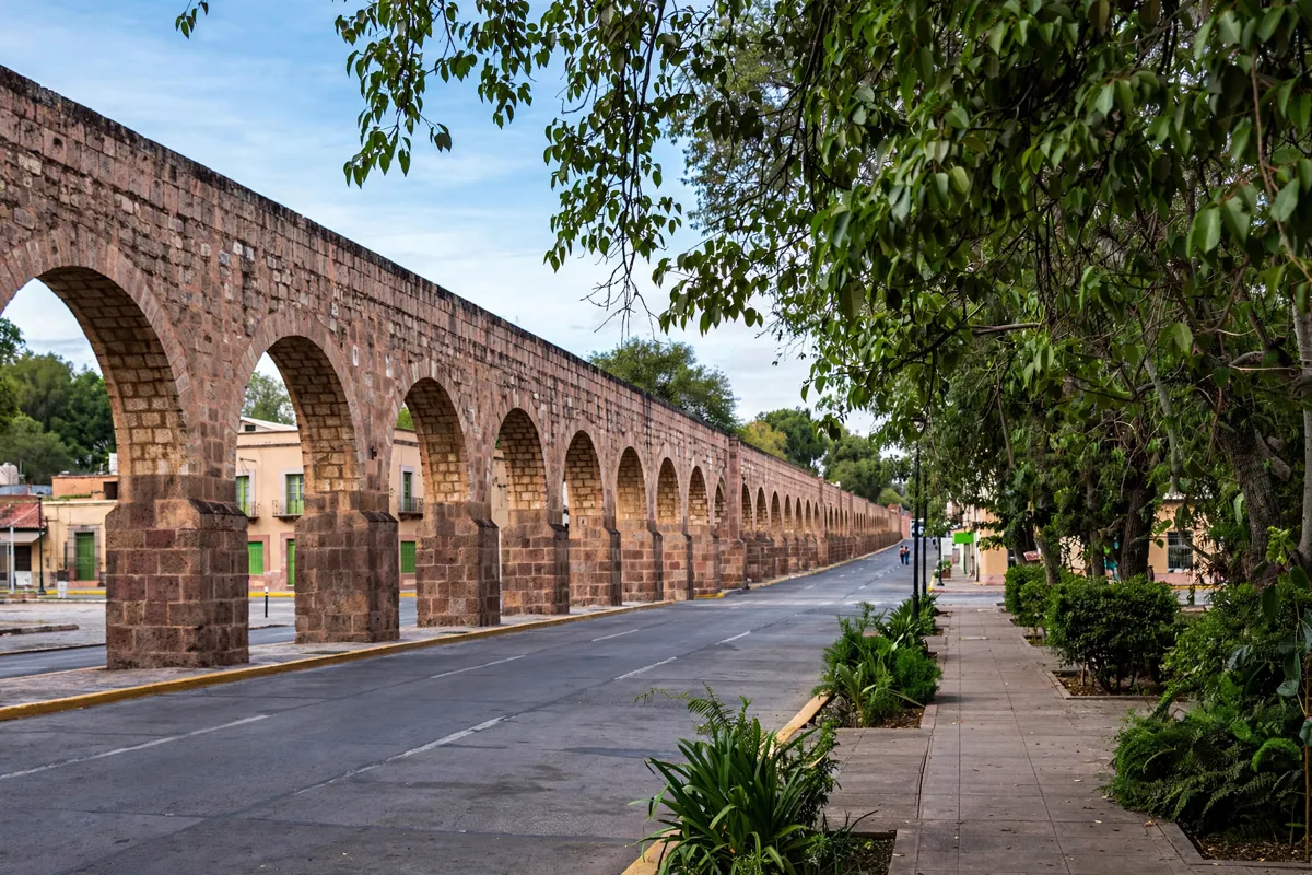
Where to see the structure
The aqueduct follows Avenida Acueducto east toward Colonia Chapultepec Norte, and its arches grow in size as the route approaches the city centre, following the change in ground level. The full structure is approximately 1,700 meters long, with 253 arches and a maximum height of nearly 8 meters.
For another way to take in the city, the Calzada de Guadalupe is a walking avenue with views of Morelia. The aqueduct is illuminated at night, offering a different view of its arches.
Look out for fountains associated with the aqueduct, including the Pila del Gallo, Pila del Soldado, Pila del Santo Niño, Pila de la Mulata and Pila del Ángel. The Pila del Acueducto is beside the east side of Jardín de Villalongín, on Calle Aquiles Serdán. Beneath the arches, its rectangular cantera-stone basin has a rim 70 centimeters high.
How do you approach the aqueduct?
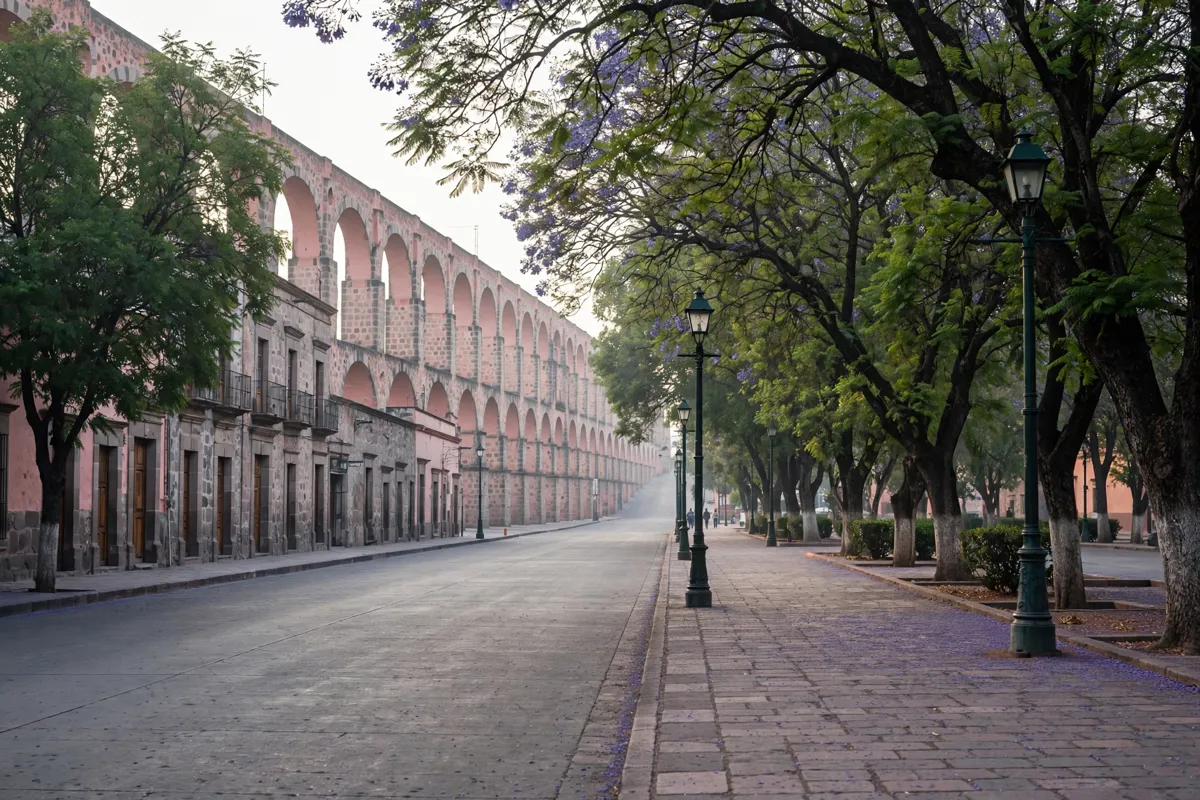
Avenida Acueducto gives you a way to follow the structure toward the city centre. To make the outing a walk through the wider historic area, pair the aqueduct with the Calzada de Guadalupe, a pedestrian avenue that offers views across Morelia.
The aqueduct is in the city’s Historic Monuments Zone, whose historic centre is protected through laws, decrees and regulations. If you are planning a broader day on foot, the one-day itinerary for Morelia’s historic centre offers a way to connect it with other parts of the city visit.
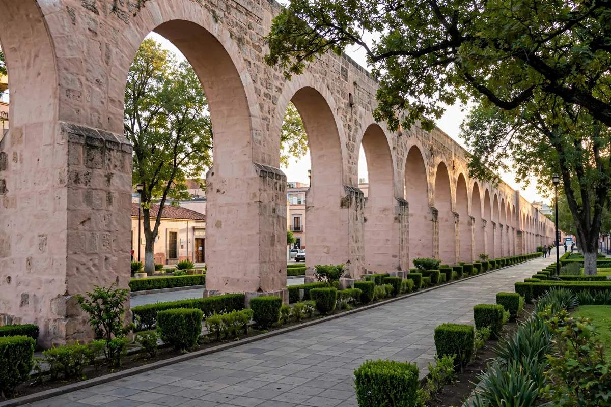
Photography and public access
The arches and the fountains provide outdoor subjects along the route. The Calzada de Guadalupe is a walking avenue with views of Morelia, while the Pila del Acueducto gives you a closer look at the stonework beneath the arches. The aqueduct is illuminated at night.
These facts identify public streets, an avenue and a fountain beside a garden as places to see the structure. They do not establish visitor access to the aqueduct’s arches themselves, so plan to view it from public areas rather than assuming you can enter the structure.
Adding the Acueducto to a city visit
Build the aqueduct into a visit to Morelia’s historic area: follow its route along Avenida Acueducto, continue to the Calzada de Guadalupe for city views, and look for the fountains associated with the waterworks. The aqueduct’s position within the Historic Monuments Zone makes it a natural part of a broader historic-centre outing.
Morelia’s urban programmes for the historic area are updated every three years. A municipal urban development programme approved in 2001 prohibited contemporary buildings that imitate historical styles, reflecting the controls used to protect the historic setting.
For a central Morelia stay, this four-star hotel is about a five-minute walk from the city centre.
FAQs
When was the Morelia aqueduct built?
Construction began in 1785 on the orders of Bishop Fray Antonio de San Miguel and was completed in 1789.
How long is the Morelia aqueduct?
It is approximately 1,700 meters long, with 253 arches and a maximum height of nearly 8 meters.
Does the aqueduct still carry water?
No. Its channel is insufficient to supply the city, though fountains associated with the aqueduct can still be seen.
Where can you view the aqueduct?
Follow Avenida Acueducto, or take in city views from the Calzada de Guadalupe. The Pila del Acueducto is beside the east side of Jardín de Villalongín, on Calle Aquiles Serdán.